

We live in a world seamlessly interwoven with the Global Positioning System (GPS). From navigating bustling city streets to coordinating global logistics, GPS has become an indispensable tool.
But how does this seemingly magical system pinpoint our location with such remarkable accuracy? The answer lies in a fascinating, albeit somewhat complex, process called trilateration. It’s a concept rooted in geometry, powered by satellites, and refined by sophisticated algorithms.
This article delves deep into the science behind GPS, unraveling the intricacies of trilateration and exploring the technologies that make it all possible.
Imagine yourself standing in a vast, open field. You receive a signal from a nearby tower, informing you that you are within a specific radius of its location. This information alone isn’t enough to pinpoint your exact spot; you could be anywhere along that circle. Now, imagine receiving signals from two more towers, each telling you your distance from them. The intersection of these three circles narrows down your possible locations to just two points. A fourth signal, or even a clever bit of logic, easily resolves the ambiguity, revealing your precise location. This, in essence, is the fundamental principle of trilateration. It’s a deceptively simple idea that becomes profoundly powerful when scaled up and applied in three-dimensional space.
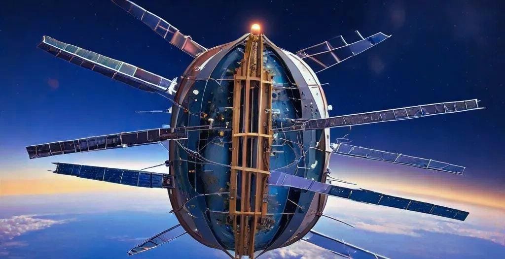
Of course, the reality of GPS is far more intricate. Instead of terrestrial towers, GPS relies on a constellation of at least 24 satellites orbiting the Earth at an altitude of approximately 20,200 kilometers. These satellites, each a marvel of engineering, are equipped with highly precise atomic clocks, the kind of timekeeping devices that make even the most expensive wristwatches seem laughably inaccurate.
These clocks are crucial because they ensure the timing precision required for accurate distance calculations. The satellites continuously transmit signals containing their precise location and the exact time the signal was sent. Your GPS receiver, a marvel of miniaturized technology often found in your phone or car, picks up these signals. The key to trilateration lies in the time it takes for these signals to reach your receiver. By multiplying this time by the speed of light, the receiver calculates its distance from each satellite.
Here’s where the perplexity increases. The signals, traveling at the speed of light (approximately 299,792,458 meters per second), still take a tiny fraction of a second to reach your device. Even minuscule errors in timing, on the order of nanoseconds (billionths of a second), can translate into significant inaccuracies in position. This is why the atomic clocks on board the satellites are so crucial; their incredible precision, often measured in parts per quadrillion, ensures the reliability of the timing data.
Furthermore, the signals must penetrate the Earth’s atmosphere, a turbulent and ever-changing layer of gases that can introduce further delays and distortions. Sophisticated algorithms within the GPS receiver take these factors into account, applying corrections to account for atmospheric effects, relativistic effects (due to the satellites’ high speed and lower gravity), and other potential sources of error to refine the calculated distances.
But trilateration isn’t just about calculating distances; it’s about solving a geometric puzzle in three-dimensional space. While the two-dimensional analogy with circles is helpful for understanding the basic concept, GPS operates in three dimensions, using spheres instead of circles. Each satellite signal places the receiver on the surface of a sphere. Imagine each satellite as the center of a giant balloon, and you are somewhere on the surface of that balloon.
The intersection of three such spheres defines two possible locations, and a fourth satellite is generally used to disambiguate and pinpoint the user’s true position. This process involves complex mathematical calculations, including solving systems of equations, performed in real-time by the receiver’s processor. The receiver needs to determine the point in space where the surfaces of at least four spheres intersect.
The accuracy of GPS has improved dramatically over the years, thanks to advancements in satellite technology, signal processing, and receiver design. Modern GPS systems can achieve positional accuracy within a few meters, and even centimeter-level accuracy is possible with differential GPS techniques. Differential GPS uses ground-based reference stations that transmit correction signals to further refine the data received from the satellites. These reference stations provide a known, highly accurate location, allowing the system to compensate for errors and improve precision. This level of precision has opened up a plethora of applications, from autonomous vehicles and precision agriculture to surveying, disaster relief, and even recreational activities like geocaching.
Conclusion:
The science behind GPS, particularly the principle of trilateration, is a testament to human ingenuity. It’s a complex interplay of physics, mathematics, and engineering, working seamlessly to provide us with accurate location information.
From the atomic clocks ticking in space to the intricate algorithms crunching numbers in our handheld devices, GPS is a marvel of modern technology that has profoundly transformed our world. As technology continues to advance, with the development of new satellite constellations and improved receiver technology, we can only expect GPS to become even more precise, reliable, and integrated into our lives. The future of GPS promises even more exciting applications, from enhanced autonomous navigation to more sophisticated location-based services.
Frequently Asked Questions (FAQ):
Q: How many satellites are required for GPS to work?
A: A minimum of four satellites are needed to determine a 3D location (latitude, longitude, and altitude). However, the system uses signals from more satellites whenever possible, often up to 12 or more, to improve accuracy, reliability, and availability, especially in challenging environments like urban canyons. More signals mean more data points, leading to a more robust and precise location fix.
Q: What are some factors that can affect GPS accuracy?
A: Several factors can impact GPS accuracy, including atmospheric conditions (especially ionospheric and tropospheric delays), obstructions (like tall buildings, dense foliage, or even mountains), the quality of the GPS receiver (antenna design, processing power), multipath errors (signals bouncing off surfaces), and intentional interference (like jamming or spoofing). Even solar flares can disrupt GPS signals.
Q: What is the difference between GPS and other location services like GLONASS, Galileo, or BeiDou?
A: GPS is a US-operated system. GLONASS is the Russian counterpart, while Galileo is the European Union’s system, and BeiDou is China’s system. These are all Global Navigation Satellite Systems (GNSS) that work on similar principles but are operated by different countries. Each system has its own constellation of satellites. Many modern devices can utilize signals from multiple GNSS constellations simultaneously for improved accuracy, availability, and redundancy. If one system is experiencing issues, the receiver can rely on others.
Q: How does a GPS receiver calculate distance?
A: A GPS receiver calculates distance by multiplying the time it takes for a signal to arrive from a satellite by the speed of light. Because the signals travel at such high speeds, the timing needs to be incredibly precise, which is why atomic clocks are used in the satellites. The receiver measures the time difference between when the signal was sent (indicated in the signal itself) and when it was received.
Q: Is GPS tracking always accurate?
A: While GPS is generally very accurate, it is not infallible. As mentioned above, various factors can affect its accuracy. It’s also important to remember that GPS provides location data; how that data is used and interpreted is another matter and can be subject to errors or misinterpretations. For example, a GPS device might show you on a road, but the road itself might be mapped incorrectly.
Q: What is the difference between assisted GPS (A-GPS) and regular GPS?
A: A-GPS uses information from cellular networks and other terrestrial sources to supplement GPS signals. This can significantly improve the time it takes to acquire a location fix, especially in situations where satellite signals are weak or blocked. A-GPS can also provide location information indoors, where GPS alone might not work. However, A-GPS relies on network connectivity, so it might not be available in all areas.
Q: What is the future of GPS technology?
A: The future of GPS looks bright. We can expect even more precise and reliable location information, thanks to advancements in satellite technology, receiver design, and signal processing. New generations of GPS satellites will offer improved signal strength and accuracy. Integration with other technologies, like inertial sensors and computer vision, will further enhance location awareness, especially in challenging environments. The development of more sophisticated algorithms will also help to mitigate errors and improve the overall performance of GPS. The future of GPS is closely tied to the development of autonomous systems, smart cities, and the Internet of Things, where precise location information is crucial.